Durham City info
A repository for dynamic information about our city
A repository for dynamic information about our city
A repository for dynamic information about our city
This website is where we are building an evidence base to be used in the quinquennial review of the Neighbourhood Plan. The Neighbourhood Plan website is not being updated. The evidence it contains relates to the date that Plan was approved (7th July 2021). More recent evidence is on this site.
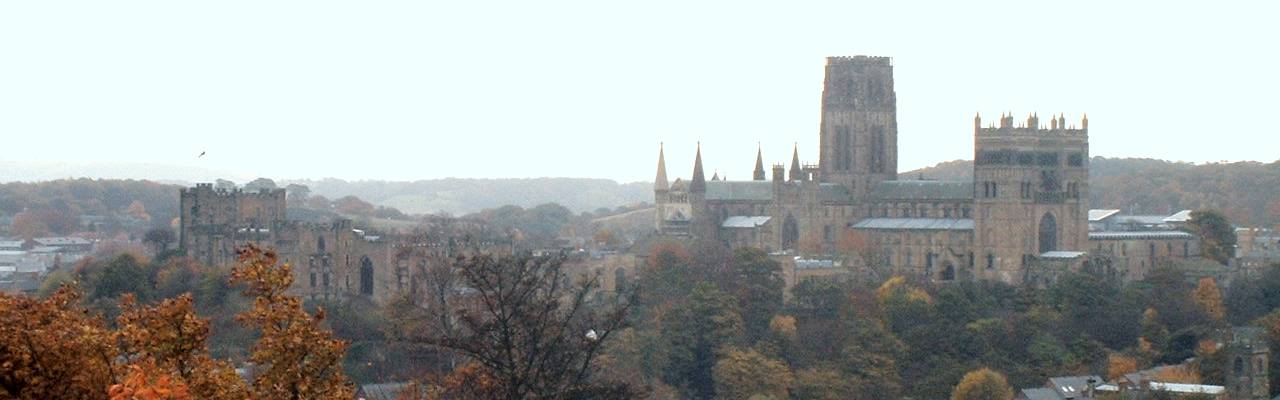
The City of Durham Parish lies at the heart of Durham City, and includes the Durham World Heritage Site and Durham University. Two other parishes, Belmont (to the east) and Framwellgate Moor (to the north), along with some unparished areas including Newton Hall and part of Gilesgate Moor, make up the built-up area. The Parish extends 6.9km north-south and 3.4km east-west (4.3 x 2.1 miles). Its area is 1,453Ha (3,590 acres).